

This is the overall pattern heading into the upcoming weekend. Numerous rounds of showers and thunderstorms will be possible as the overall flow in the upper levels is parallel to the stationary front waffling across the area.
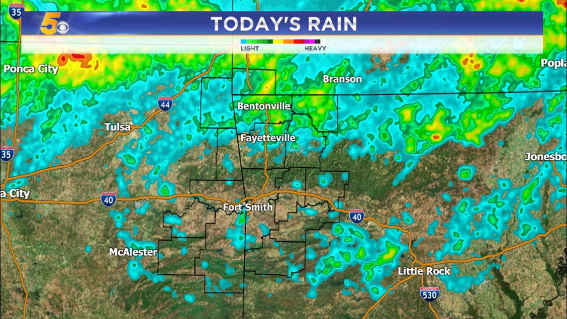
Some of the heaviest recent rains have been in Benton County. This is why a Flash Flood Watch has been issued.
The main threat with all of the storms will be heavy rainfall followed by strong winds.
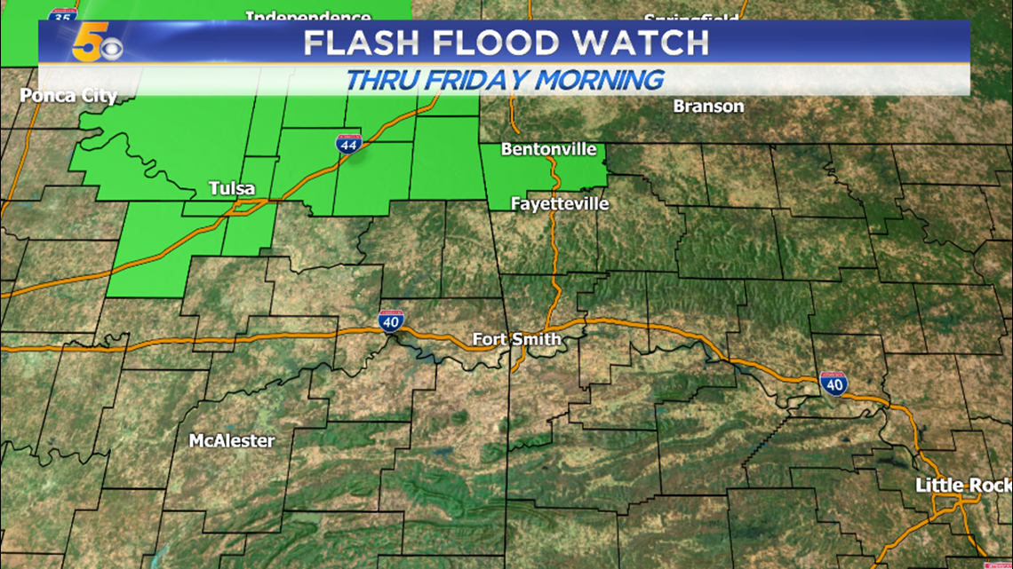
More locations could be added to this watch depending on where the heaviest rain sets up tonight into Friday morning.
Generally… the highest damaging wind risk will be with daytime heating in the afternoon… and the highest flash flood threat will be overnight and into the morning.
-Garrett