

An area of low pressure is swirling across Oklahoma and will push another area of rain into our area late night into the first part of the day on Tuesday. Here's the are the highlights:
- No severe weather
- Best rain chance south of Fayetteville & best chance for Fort Smith
- Heaviest rain at midnight, clearing by Tuesday afternoon
The next chance for severe weather could hold off until the first of next week around May 4th or 5th.

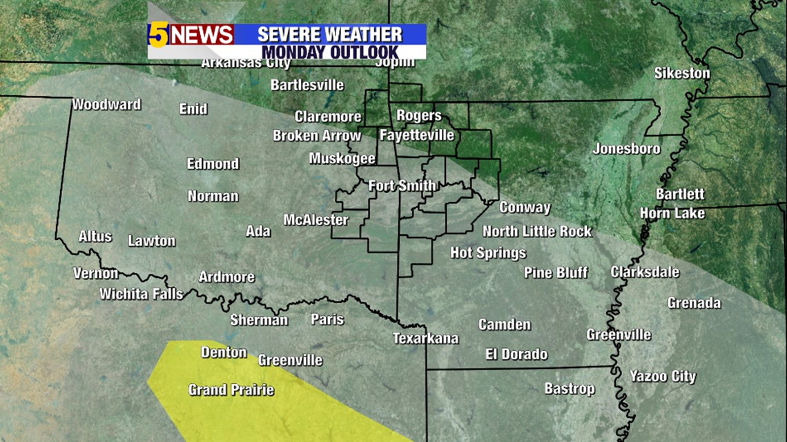
This is the severe risk for Monday night. The best chance is expected to remain well south of us.

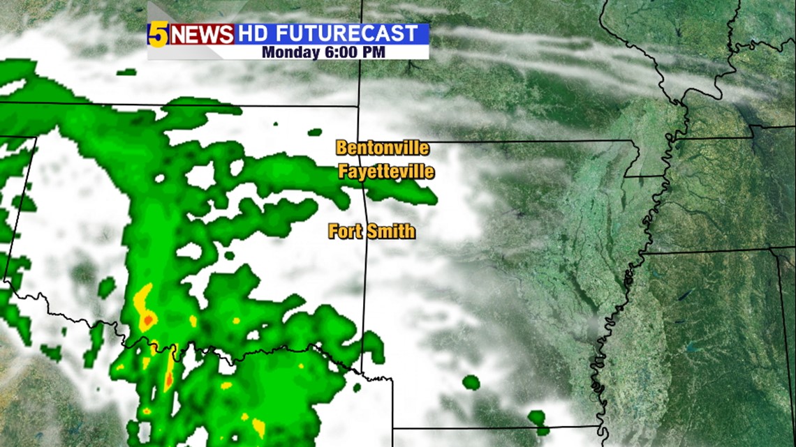
6PM Monday: Scattered rain in the area, it will be light to moderate with very little thunder.

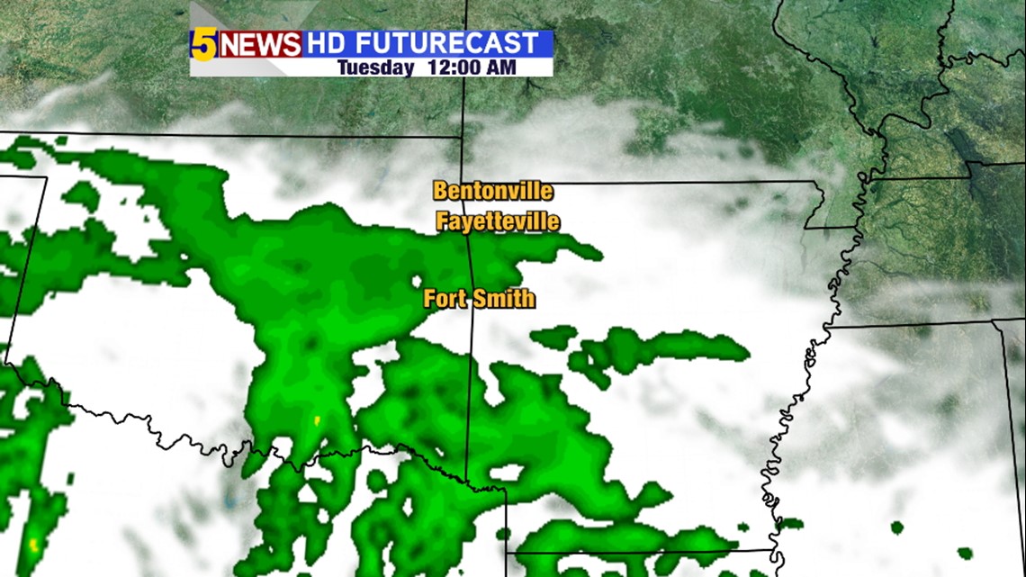
Midnight: Best chance for rain across the entire area but Bentonville still may not see much.

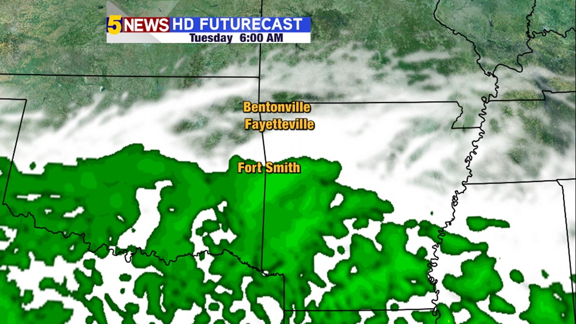
6am Tuesday: Rainiest in Fort Smith and south, dry air starting to work into Northwest Arkansas

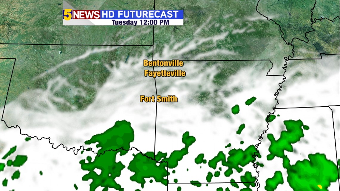
Noon Tuesday: Most of the rain will be out of the area.

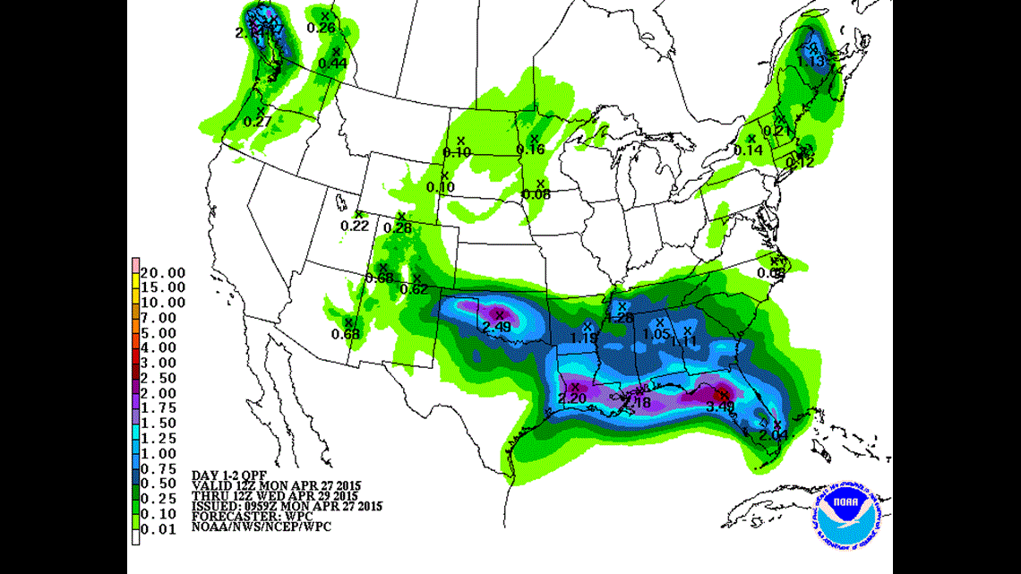
Here's the rain forecast for the next 2 days. Notice the heaviest rain will be in central Oklahoma with much lower totals here in our area.
-Garrett