
FAYETTEVILLE, Ark. — After a busy week of rain and storms, we'll finally enjoy a stretch of nice weather. High pressure continues to dominate the weather this weekend, which will keep dry conditions around and mostly sunny skies on Saturday. While temperatures on Saturday will be a bit warmer than Friday, low humidity and a light northwest breeze will make for a comfortable day.
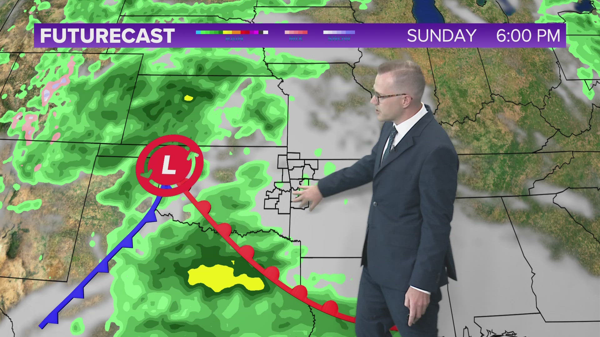
By Sunday we'll begin to see some changes. Expect a gradual increase in cloud cover, though some sunshine is expected. We'll still see high temperatures in the upper 70s and low 80s. By the later half of Sunday slight chances of stray showers return to the forecast as a storm system approaches 5COUNTRY.
That same storm system brings better rain chances overnight Sunday into Monday. Currently we expect rain on and off most of Monday, with some scattered showers even lingering into Tuesday.
Rain totals of 1 to 3 inches will be possible, with rain chances in and out of the forecast next week. Severe weather chances appear low at this time.
While still too far out for specifics, another storm system will bring good rain and thunderstorm chances to the area by Thursday of next week. We'll continue tracking this closely.
A strong geomagnetic storm may lead to the Northern Lights being viewable as for south as northern Arkansas this weekend. Tap HERE for details.
Tap HERE to check our interactive weather radar.
TONIGHT
- Mostly clear skies
- Temps dropping into the 60s
- Northerly winds 5 to 10 MPH
TOMORROW
- Mostly sunny
- A bit warmer, still low humidity
- Northwesterly winds 5-10 MPH


Watch 5NEWS on YouTube.
Download the 5NEWS app on your smartphone:
Stream 5NEWS 24/7 on the 5+ app: How to watch the 5+ app on your streaming device
To report a typo or grammatical error, please email KFSMDigitalTeam@tegna.com and detail which story you're referring to.