Snowy afternoon for the higher terrain!
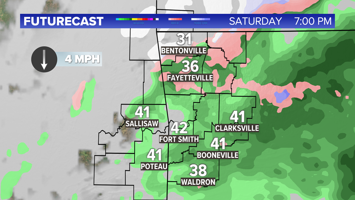
Snow is falling this afternoon for most areas above 1,500 feet! 1-2" of snow has piled up in some spots. This will continue to be a high elevation snow event with the NW Arkansas metros only seeing light rain mixed with snow.
All the precipitation will come to and end tonight, followed by bitter cold temperatures tonight and a drier Sunday.
Next Few Hours:
Rain and snow will continue to push off to the east. Its possible even some places below 1,500 feet see a brief period of light snow later this evening as the system exits. However, no accumulation is expected.

By 10pm all of the precipitation will have exited with temperatures falling quickly.

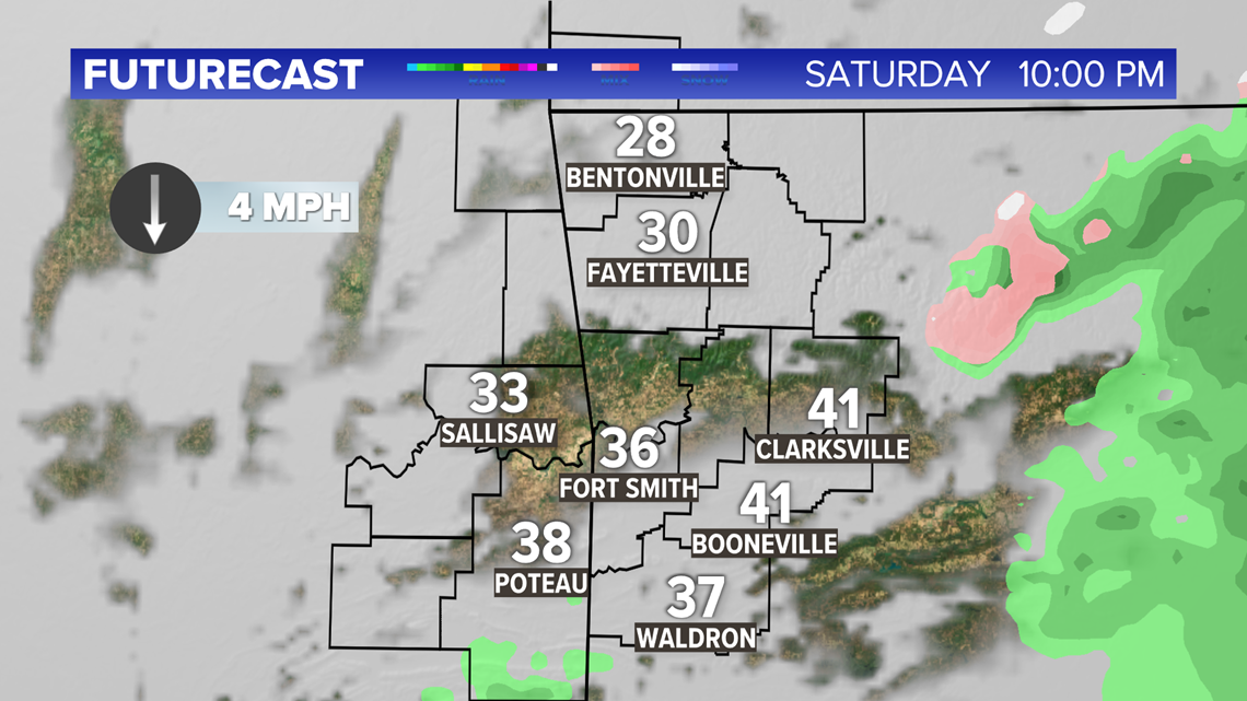
Lows tonight will be well below freezing so travel may become slick in places that saw snowfall accumulation this afternoon as any water or slush reaming on the roadways quickly freezes.


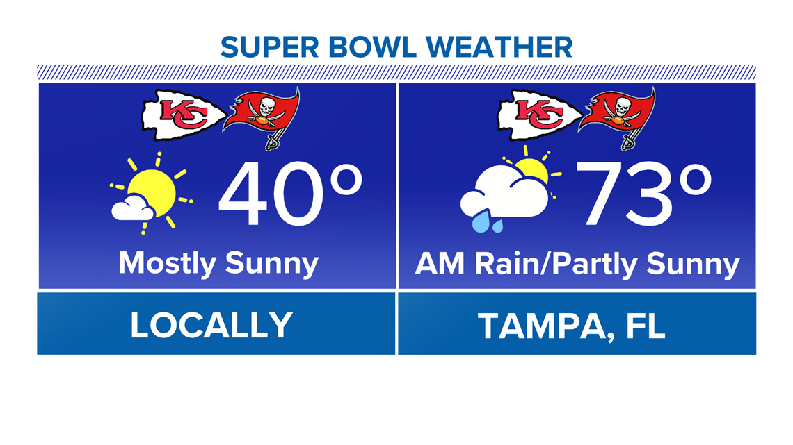
Super Bowl Sunday:
Sunday is trending drier with more sunshine expected for the big game! Expect mostly sunny skies with highs in the lower 40s.

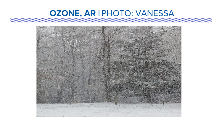
Snow pictures!
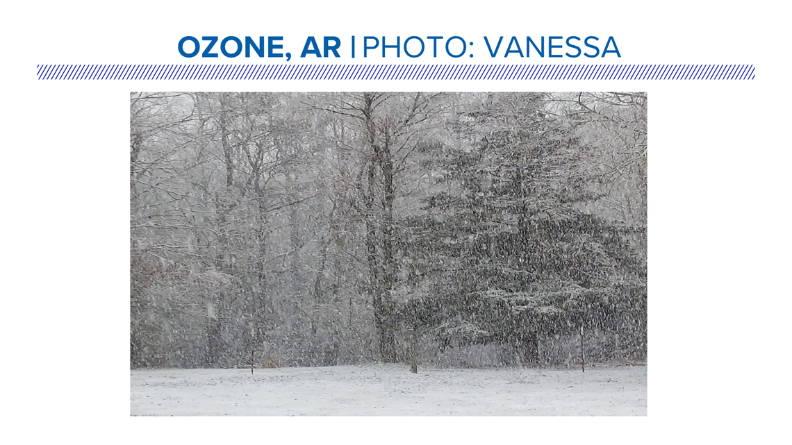
The higher terrain in Johnson County picking up on a healthy dose of snow today.

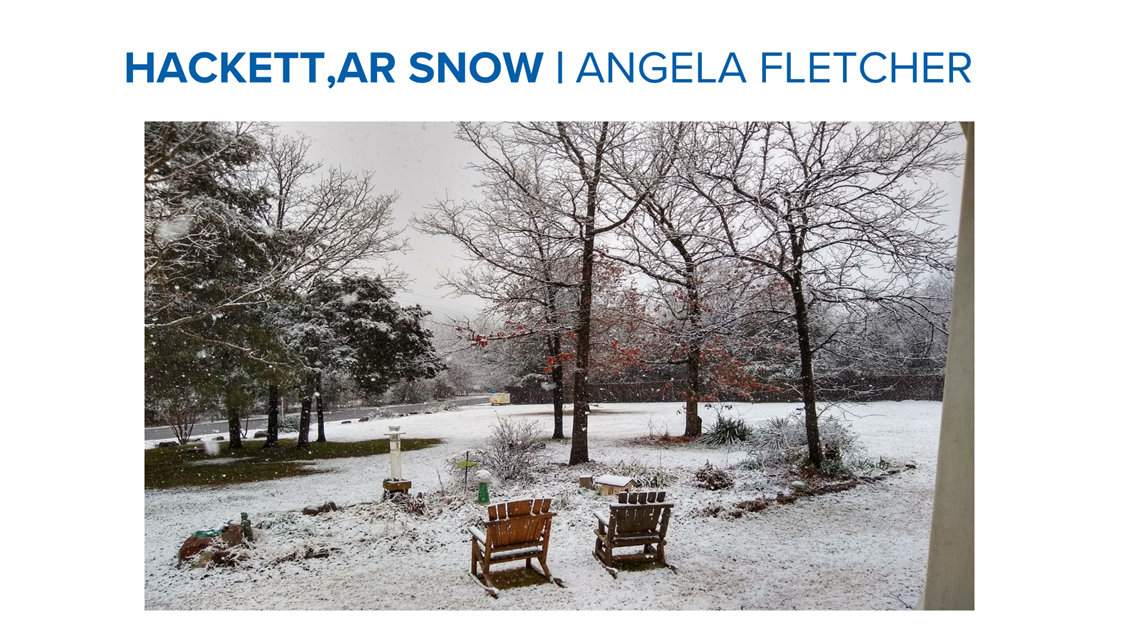
Even in Hackett the landscape was turned into a winter wonderland!

Some of the highest snow totals seen in the state today occurred above 2,000 feet in parts of Newton County with several inches falling! Elevation is always key.


Looking ahead:
After today, expect drier conditions for Sunday before an unsettled and colder pattern takes shape and influences our weather for much of next week. At this point there is too much uncertainty to say just how cold we will get, and if there will be any winter weather, but that is something we will fine tune in the coming days so stay tuned!
-Dax