Christmas 2018 seems to be trending warmer than normal with highs near 60º, increasing clouds, and a chance for a passing shower.

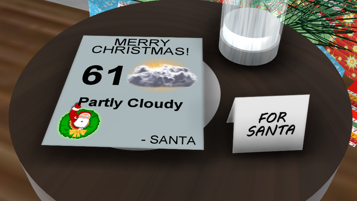
If I had to make the forecast today for next week, I would expect Partly Cloudy skies, breezy south winds and a 4pm temperature around 60º.

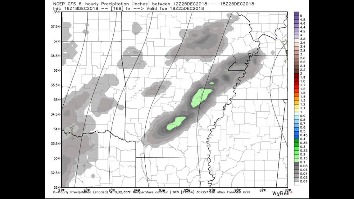
Data has been consistent with bringing back the humidity on Christmas. This increase could lead to a few showers. This map shows around Noon on Christmas Day. I think the bigger rain event probably hold off until after Christmas towards the second half of the week.

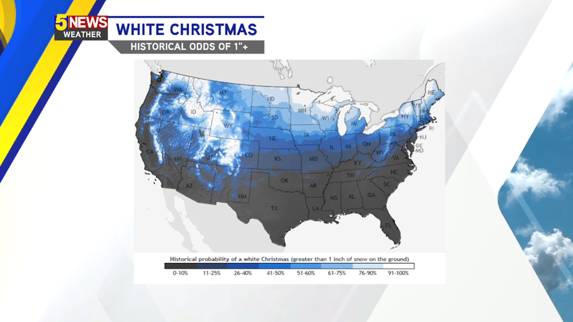
These are the locations that historically have the best chance to find 1″+ on the ground on Christmas Day.

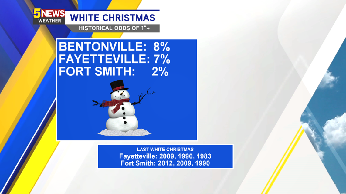
Locally, it’s not that well. Most of our area is just under 10% with even lower chances the farther south you travel.

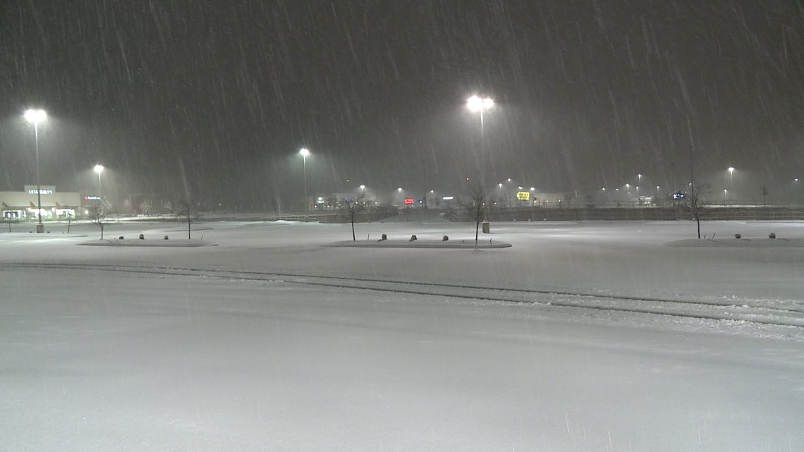
This is an image from 2012, the last time Fort Smith had 1″+ of snow on the ground. It doesn’t happen often but it can happen!
-Garrett