
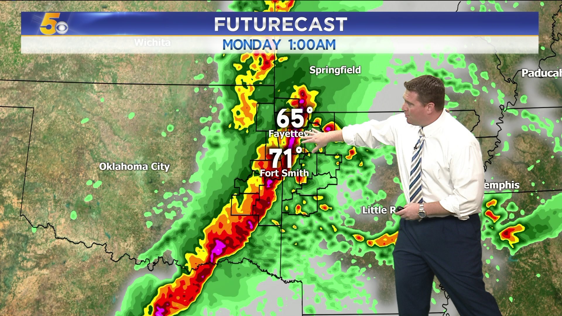
The forecast remains on track for strong to severe thunderstorms late-Sunday into the early morning hours on Monday.
The cold front will force a line of strong to severe thunderstorms with a high wind damage risk along the leading edge of the line.
Strong wind shear in the atmosphere will also cause a few storms to rotate and the tornado risk is somewhat higher than it normal it... more on track with early Spring-like type weather.
Storms will exit towards Monday morning with breeze cool winds expected on Monday.
-Garrett