
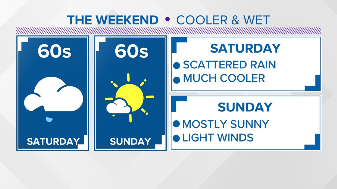
FAYETTEVILLE, Ark. — Much cooler after our cold front from Thursday, we'll stay on the cooler side going into the weekend. Rain chances pick up into Saturday with our next disturbance. Scattered showers are expected throughout the day with higher chances across the River Valley. More sunshine is expected towards the end of the weekend.
Tap HERE to check our interactive weather radar.
We'll warm back up into the beginning of next week with some sunshine on Monday. We are tracking more weak disturbances late next week that may bring some more rain chances. Overall, no severe threats are expected through next week.
TONIGHT
- Increasing clouds
- Scattered showers | 40%
- Lows in the 40s/50s
- Easterly winds 5 to 15 MPH
SATURDAY
- Scattered Showers | NWA 30% | RV 60%
- Highs in 60s
- Variable Winds 5 to10 MPH

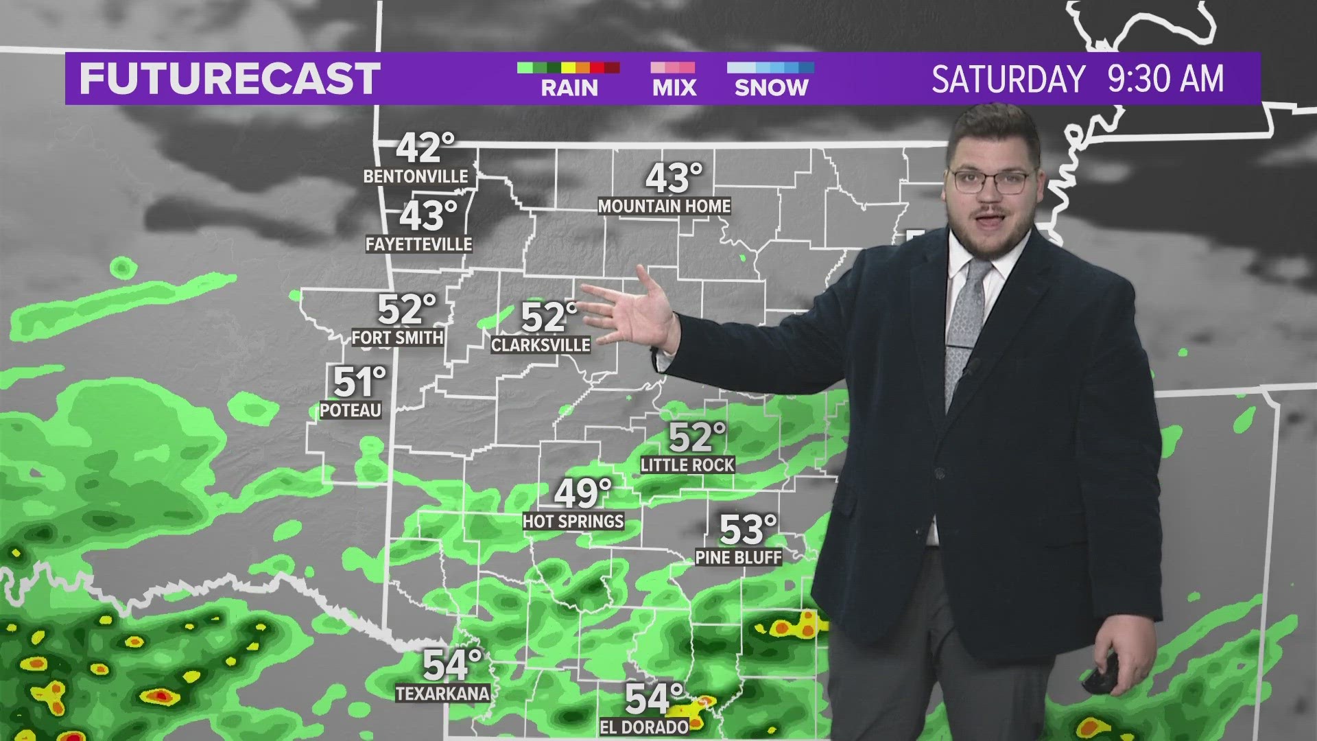
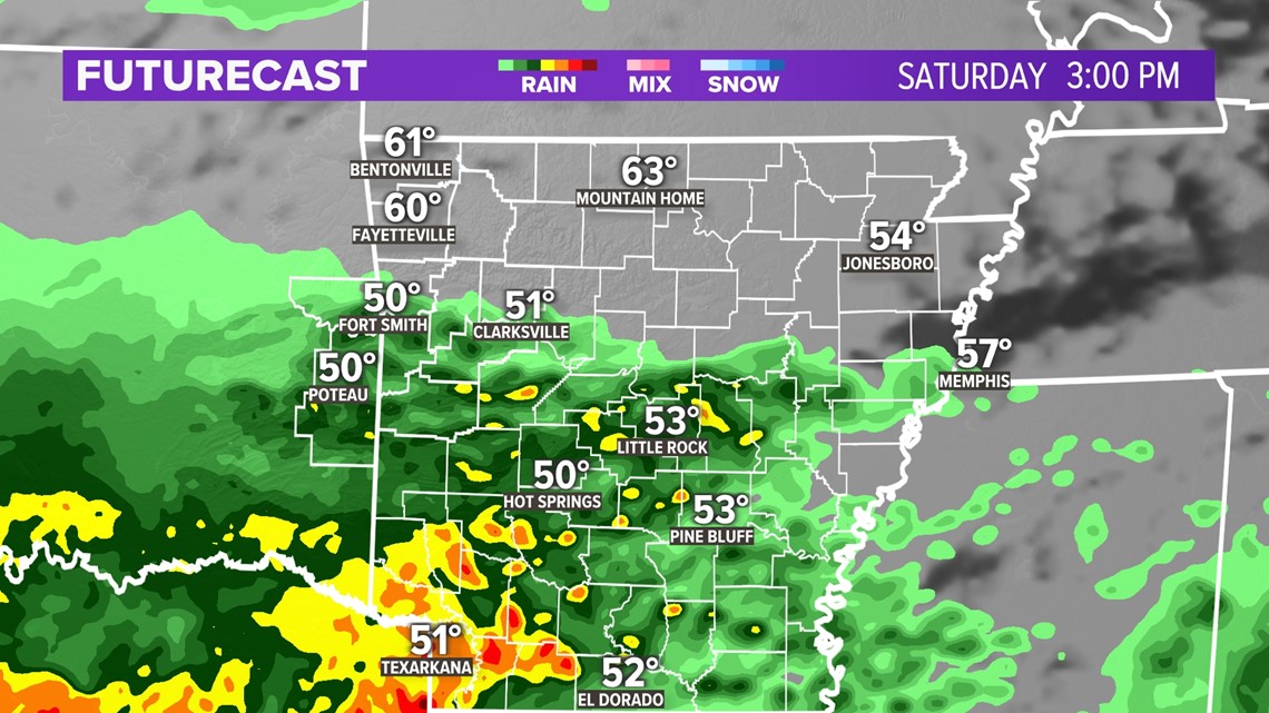
RAIN CHANCES FOR SATURDAY
It'll be a gloomy start to the weekend with cooler temperatures, cloud coverage, and rain chances. This next system we are tracking is looking to soak most of southern Arkansas, but the River Valley will have a good chance of picking up some significant rainfall as well. Places north of I-40 will have a good chances of some light scattered showers throughout the day.

- Stephen
Watch 5NEWS on YouTube.
Download the 5NEWS app on your smartphone:
Stream 5NEWS 24/7 on the 5+ app: How to watch the 5+ app on your streaming device
To report a typo or grammatical error, please email KFSMDigitalTeam@tegna.com and detail which story you're referring to.