
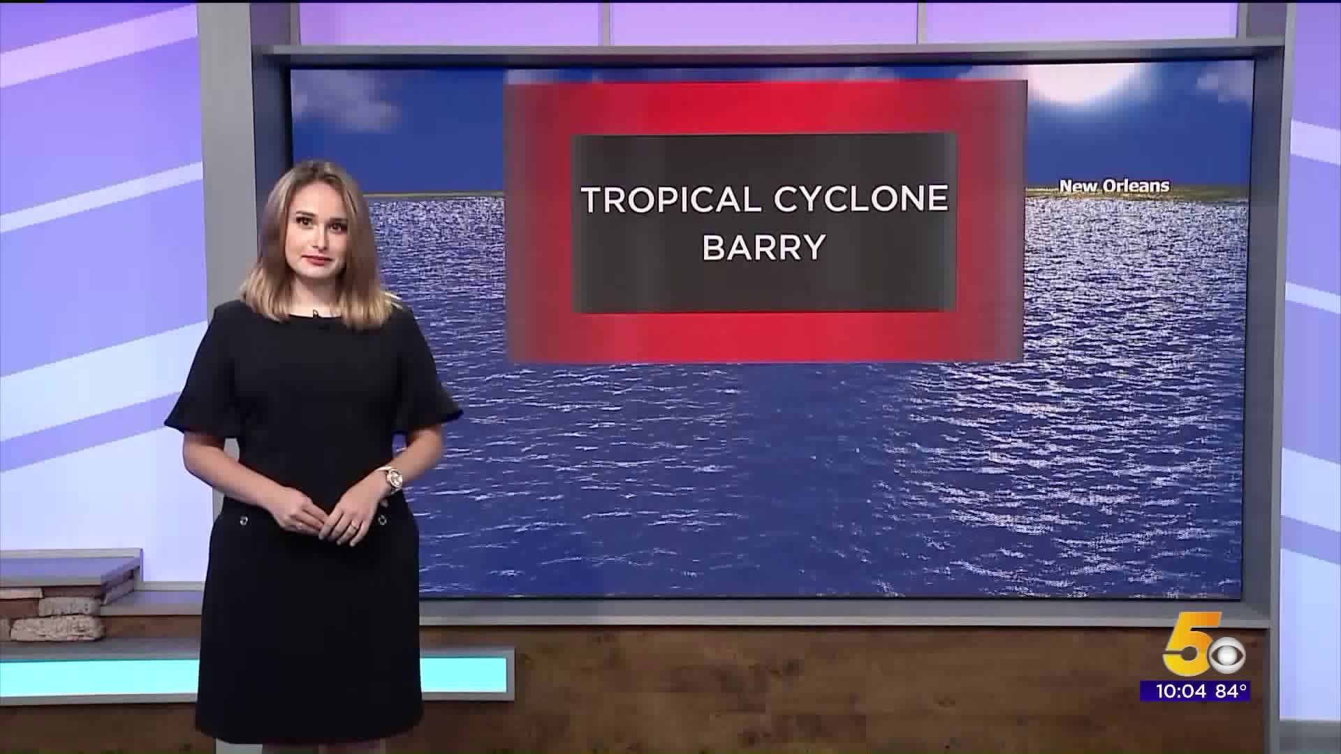
The tropical system in the Gulf has been a trending topic in weather the past few days. That's because of Barry, a tropical cyclone that originated over the southeast U.S. and strengthened over the Gulf of Mexico.
Now, as it moves over land again, the question a lot of people have is how this could affect us.
Let's look back at 2008. Hurricane Ike made landfall in Texas. As it tracked further north, it moved straight through western Arkansas.
Flash forward to the present. Barry made landfall as a Category 1 hurricane in the middle of the day on Saturday, and the forecast has Arkansas in its path.
We spoke directly with the National Hurricane Center (NHC) to learn about Barry's potential track.
Ken Graham, Director of the NHC, explained, "By Monday morning, what's left of Barry or what's left of the system will be in central Arkansas, and you know there could be some places in Arkansas especially eastern Arkansas that could see 6-10 inches of rain, and other places in the West portion of Arkansas, 2-4, maybe even 6 inches of rain," said Kenneth Graham with the National Hurricane Center. "So we have to watch closely, especially the beginning portion of next week. There's going to be some tropical rains, so we just have to watch out for some of that flooding and really be careful."
Because of the current environment, Barry is moving only five or six miles per hour. This will cause tremendous rainfall totals along the coastline and Mississippi river.
But, as Barry continues to track onto land, Arkansas could also see torrential rainfall.
Let's look at an old forecast track of Barry as it made landfall. The line down the center is a possible path. The heaviest rain falls east of the line, but rain will still fall from the outer bands.
"I think it's important that we think about, not really thinking about that skinny line that connects all the forecast points, and even the cone. The cone is basically where we think the center will be two-thirds of the time. It has nothing to do with the impacts. So all of the rain, the gusty winds, that could be well outside that cone," stated Graham.
This isn't new to Arkansas, either. Tropical systems have marched through the state before, including in the River Valley and Northwest Arkansas.
It's not unheard of to have tropical cyclones move through the state of Arkansas. But since we don't live near the coastline, it's fairly uncommon.
— Meteorologist Sabrina Bates